
SERVICE 04 OF 9
Utility Mapping
Field survey and GIS mapping of gas, power, telecom and water networks — every pipe, valve and marker located and recorded.
~4,000 kmGas utility network completed
What we deliver
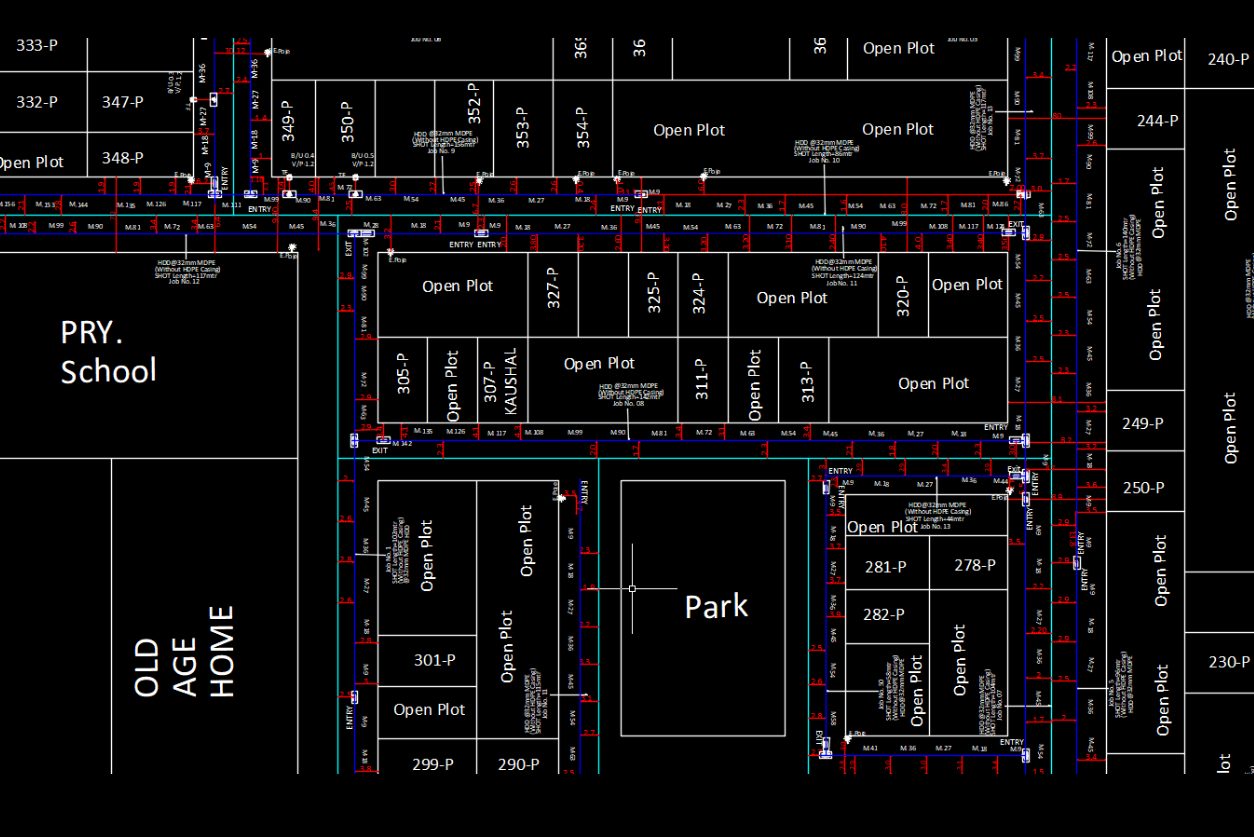
Gas Network MappingSteel and MDPE pipelines, service lines and fittings mapped for city gas distribution.
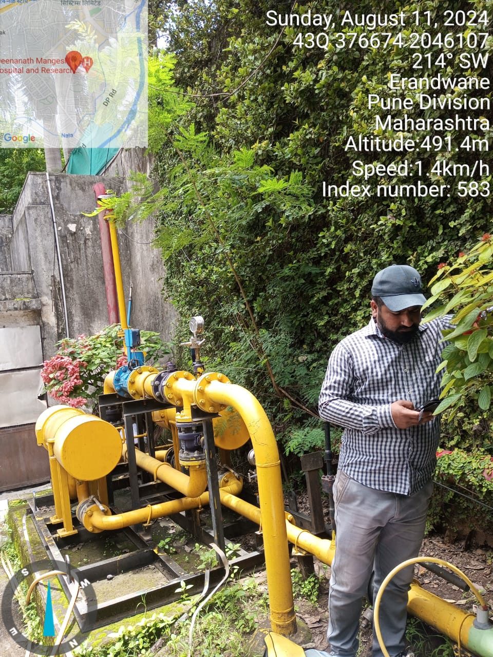
Asset Survey & CaptureValves, regulators, markers, chambers and stations located and photographed in the field.
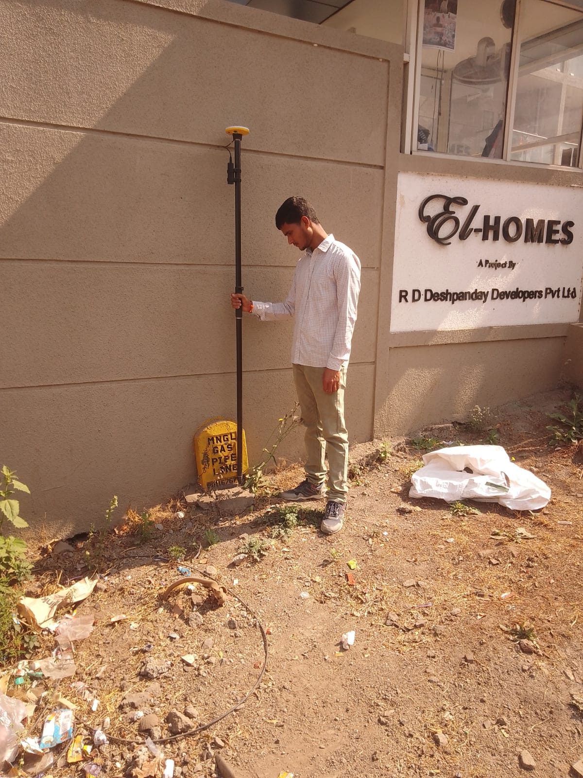
Marker & Route SurveyPipeline markers and routes picked up with GNSS for accurate network geometry.
[Power & Telecom Networks photo]
Power & Telecom NetworksCables, poles, transformers and joints mapped with full attribute data.
[Utility GIS Database photo]
Utility GIS DatabaseNetwork data built in your data model with connectivity, size, material and depth.

Web GIS PublishingData loaded to PostGIS and published on GeoServer for live viewing by your teams.
Our workflow
- 01Records reviewAs-builts and existing data collected.
- 02Field surveyGNSS capture of assets and routes.
- 03GIS mappingNetwork built with attributes.
- 04ValidationConnectivity and attribute checks.
- 05DeliveryGDB, reports or web GIS publishing.
Automation in this service
We turn your ideas into automation — our own tools and scripts handle the repetitive work, so delivery is faster and more consistent.
- VMGIS GDB ProcessorMerges contractor GDBs into one PostGIS database automatically.
- Automated network checksConnectivity, attribute and duplicate checks run on every import.
- One-click GeoServer publishingUpdated layers published for live viewing without manual steps.
- Photo & asset linkingGeotagged field photos linked to assets in bulk.
Input we work from
As-built drawings, contractor GDBs, existing network records, field survey
Output formats
File GDB, Shapefile, PostGIS, GeoServer layers, DWG
Accuracy & QC
Network connectivity, attribute completeness and position checks.
Typical applications
City gas distribution, power distribution, telecom, water and sewer networks