
SERVICE 02 OF 9
LiDAR Data Processing
From raw point clouds to classified data, terrain models and extracted features — processed to your accuracy and format requirements.
What we deliver
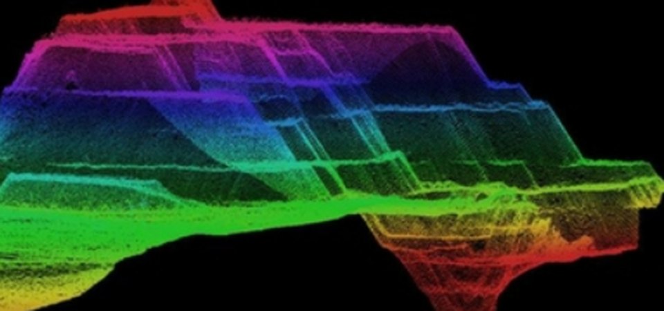
Point Cloud ClassificationAutomatic and manual classification into ground, vegetation, buildings, wires, water and custom classes.
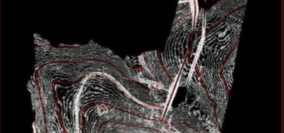
DEM / DTM / DSMBare-earth and surface models generated from classified ground points at the resolution you need.
[Contours & Breaklines photo]
Contours & BreaklinesSmooth, accurate contours and breaklines for engineering design and planning.
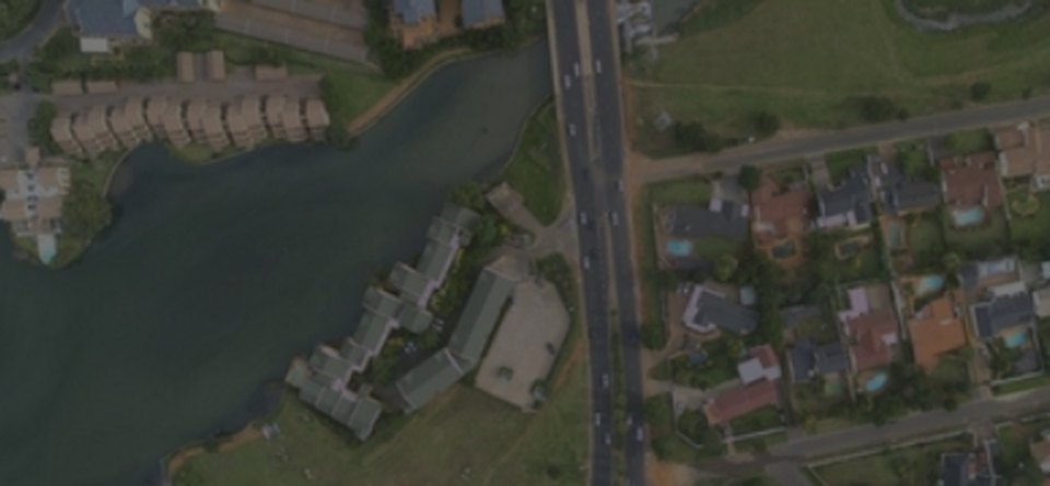
Feature ExtractionBuilding footprints, roads, poles, power lines and trees extracted as GIS / CAD layers.
[Corridor Mapping photo]
Corridor MappingPower line, road, rail and pipeline corridors mapped with clearance and encroachment checks.
[Volumes & Profiles photo]
Volumes & ProfilesStockpile and cut / fill volumes, cross-sections and long profiles for earthwork planning.
Our workflow
- 01Data checkCoverage, density, noise and control verified.
- 02Strip adjustmentCalibration and alignment of flight lines.
- 03ClassificationAutomatic classification plus manual editing.
- 04ProductsTerrain models, contours and features generated.
- 05QC & deliveryAccuracy report and delivery in your formats.
Automation in this service
We turn your ideas into automation — our own tools and scripts handle the repetitive work, so delivery is faster and more consistent.
- Automatic ground classificationScripted routines classify ground and non-ground points before manual editing.
- Batch tiling & DEM generationLarge projects tiled and terrain models produced in bulk.
- Auto contoursContours generated, smoothed and labelled automatically.
- Automated QCAccuracy checks against control points with a generated report.
Input we work from
LAS / LAZ, E57, PTS, XYZ, trajectory files, ground control points
Output formats
Classified LAS / LAZ, GeoTIFF DEM / DTM / DSM, contours (SHP, DWG, GDB)
Accuracy & QC
Accuracy checked against ground control points with a QC report.
Typical applications
Highways and railways, power line corridors, flood mapping, mining volumes, urban 3D