
SERVICE 05 OF 9
GPR Services
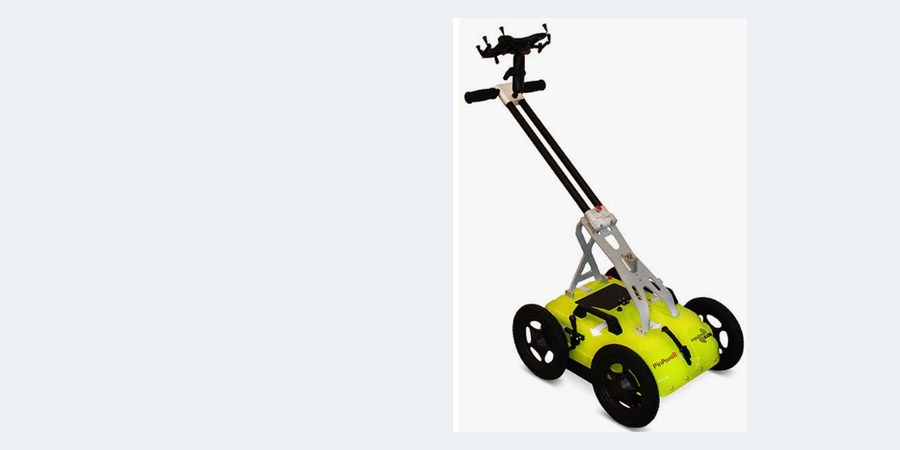
Ground Penetrating Radar survey and data processing to detect buried utilities, voids and structures — before you dig.
500 kmGPR survey completed
What we deliver
Buried Utility DetectionMetallic and non-metallic pipes and cables located before excavation or HDD.
[Radargram Processing photo]
Radargram ProcessingFiltering, gain and migration of raw GPR data to bring out clear targets.
[Depth Estimation photo]
Depth EstimationDepth of each detected utility calculated and marked on drawings.
[Void & Structure Detection photo]
Void & Structure DetectionCavities, old foundations, rebar and obstructions identified below the surface.
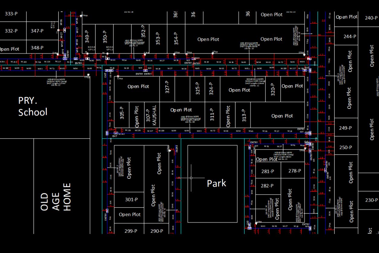
Utility PlansDetected utilities drawn in CAD and GIS with position, depth and type.
[GPR Survey Report photo]
GPR Survey ReportFindings with radargram evidence, marked-up plans and recommendations.
Our workflow
- 01PlanningSurvey grid and scan lines planned.
- 02GPR scanningField data collection along lines.
- 03ProcessingRadargram filtering and analysis.
- 04InterpretationTargets identified and positioned.
- 05DeliveryDrawings, GIS layers and report.
Automation in this service
We turn your ideas into automation — our own tools and scripts handle the repetitive work, so delivery is faster and more consistent.
- Batch radargram processingStandard filter templates applied to all scan lines at once.
- Auto export of detectionsPicked targets exported straight to CAD / GIS with depth.
- Report generationSurvey reports with radargrams and plans built automatically.
- Line managementScan lines organised and georeferenced by script.
Input we work from
Site area or alignment, existing utility records, access permissions
Output formats
DWG / DXF, Shapefile / GDB, PDF report with radargrams
Accuracy & QC
Detections cross-checked with records and trial pits where available.
Typical applications
Pre-excavation surveys, HDD crossings, road works, utility corridor planning