
SERVICE 03 OF 9
Survey
DGPS, total station and topographic surveys carried out by our own field teams, with office processing and QC.
150 kmDGPS survey completed
What we deliver
DGPS SurveyStatic and RTK DGPS observations to establish accurate control points and benchmarks.
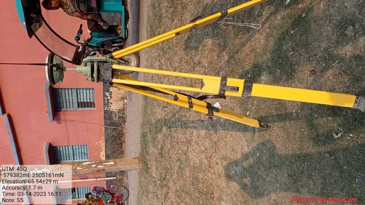
[Total Station Survey photo]
Total Station SurveyDetailed measurement of features, boundaries and levels where GNSS signals are limited.
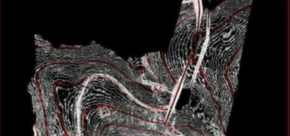
Topographic SurveyGround levels, spot heights and site features captured for design and planning.
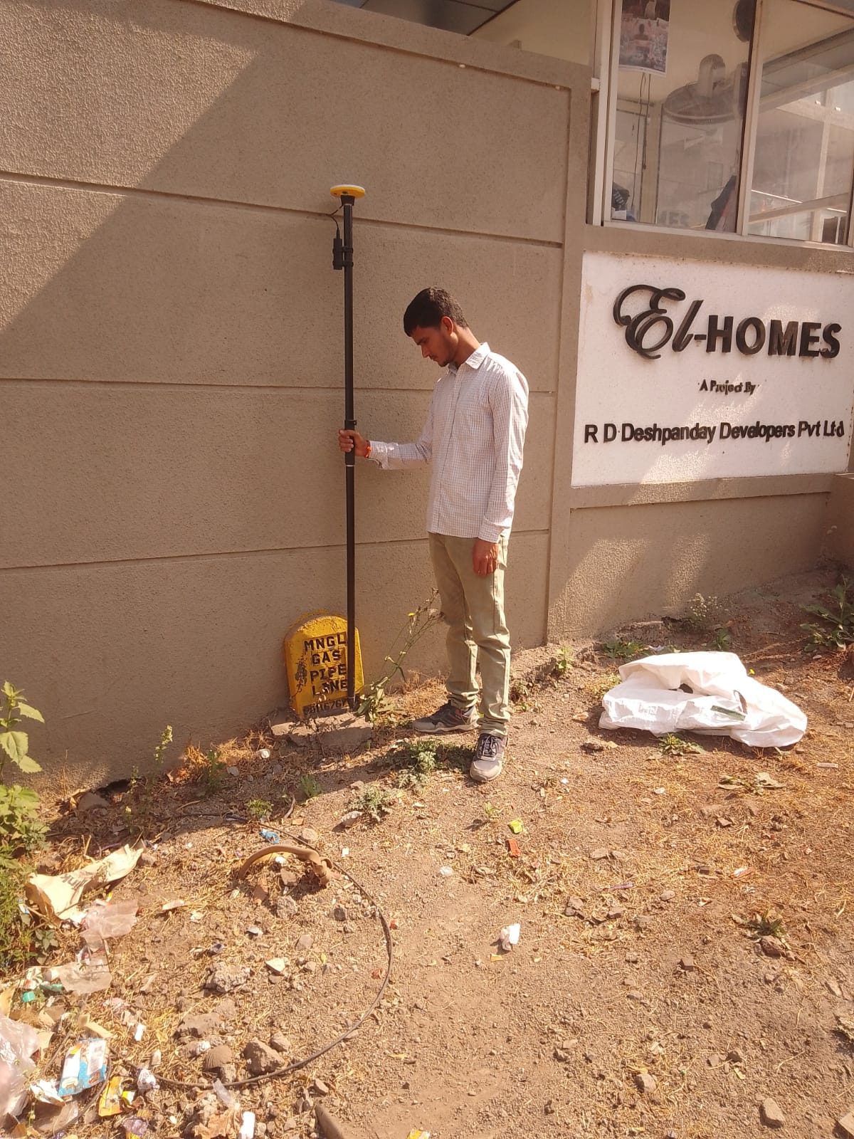
Route & Alignment SurveyPipeline, road and utility routes surveyed with chainage, crossings and obstacles.
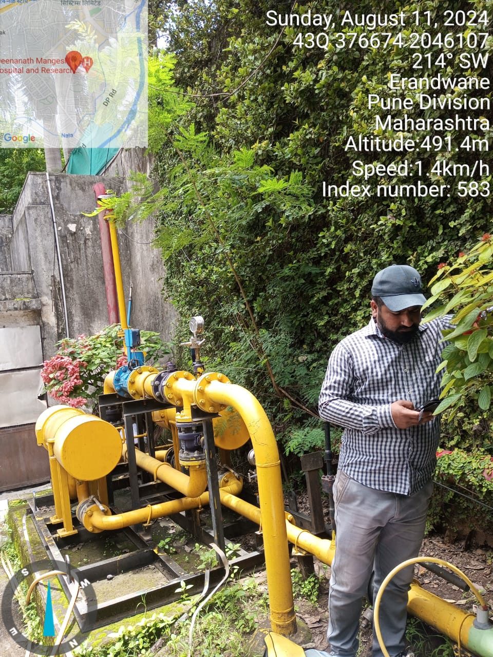
Asset SurveyLocation and attributes of field assets such as valves, regulators, poles and chambers.
[Contour & Level Survey photo]
Contour & Level SurveyLevelling and contour mapping for drainage, earthwork and construction design.
Our workflow
- 01PlanningSite recce, control plan and equipment.
- 02ControlDGPS control network established.
- 03Field captureTotal station / GNSS data collection.
- 04ProcessingData reduction, drawings and models.
- 05QC & deliveryChecks, report and final deliverables.
Automation in this service
We turn your ideas into automation — our own tools and scripts handle the repetitive work, so delivery is faster and more consistent.
- Field-to-office syncSurvey points and photos flow straight from the field into the project database.
- Coordinate conversionScripts transform coordinates between systems and zones in bulk.
- Auto drawing generationAutoLISP / VMGCAD routines plot points, levels and labels from CSV files.
- Survey report templatesPoint lists and QC reports generated automatically.
Input we work from
Site boundary, alignment or layout, existing benchmarks, project specifications
Output formats
Coordinate lists (CSV), DWG / DXF drawings, GIS layers, survey report
Accuracy & QC
Closed traverses and check points on every job.
Typical applications
Gas and utility routes, roads, land development, infrastructure design