
WHAT WE DO
All services
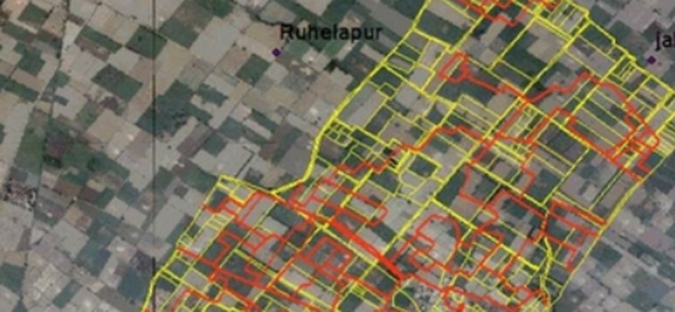
Geoprocessing
GIS data creation, conversion, georeferencing, LULC and spatial analysis — delivered to your data model.
View details
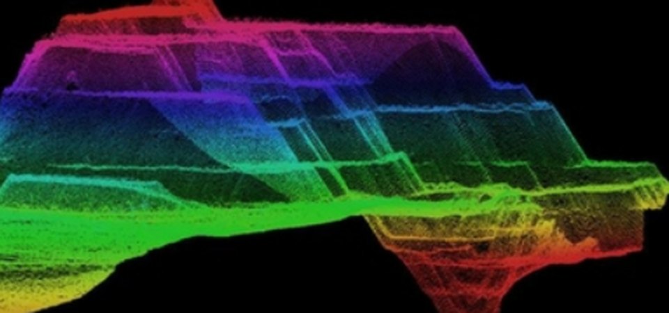
LiDAR Data Processing
Point cloud classification, DEM/DTM, contours and feature extraction from airborne and mobile LiDAR.
View details
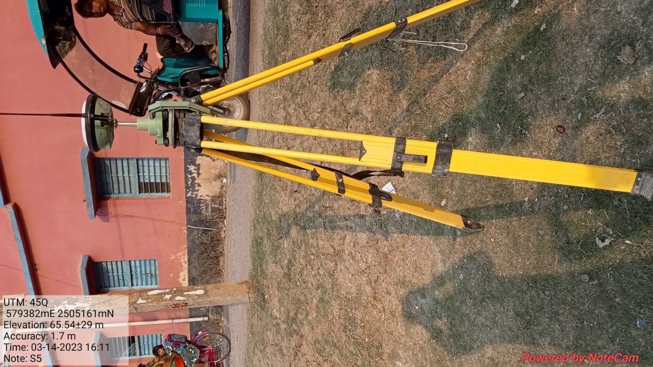
Survey
DGPS, total station, topographic and route surveys by our own field teams.
View details
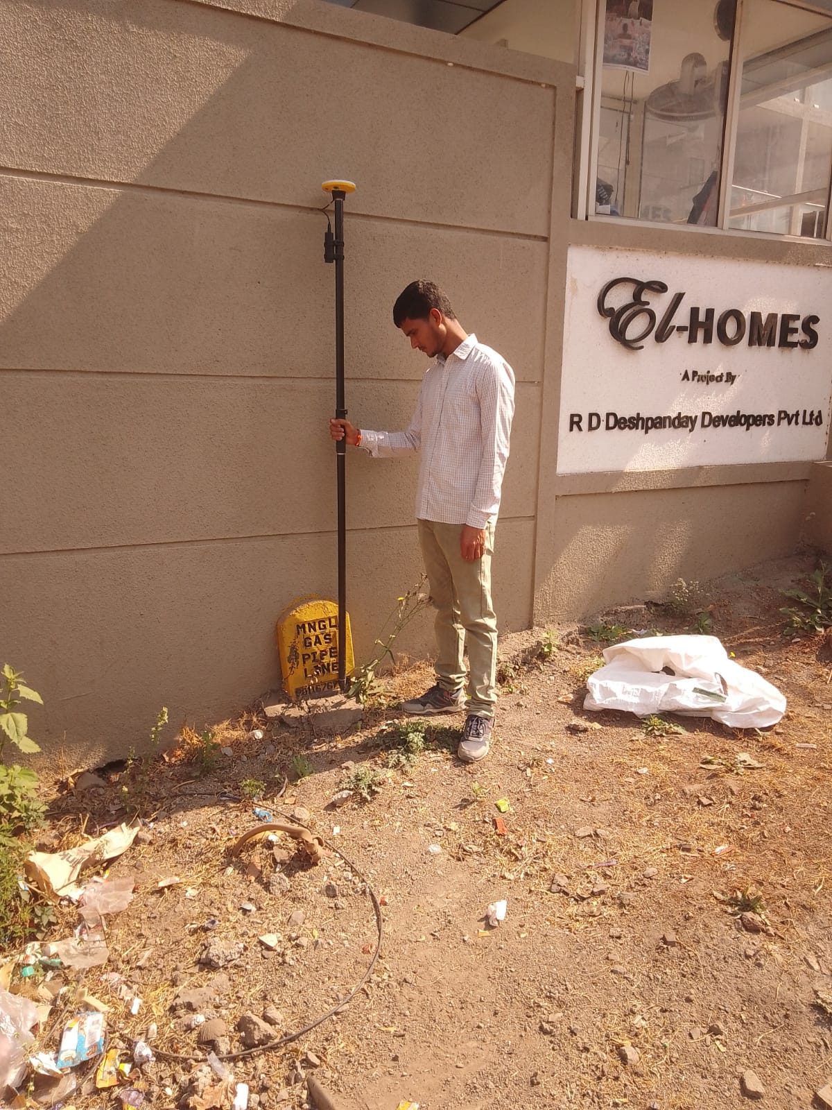
Utility Mapping
Field survey and mapping of gas, power, telecom and water networks into GIS.
View details
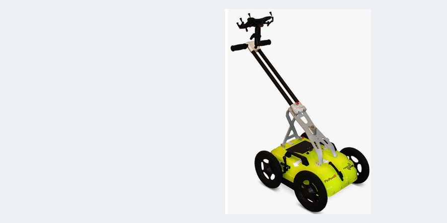
GPR Services
Ground Penetrating Radar survey and data processing to detect buried utilities, voids and structures.
View details
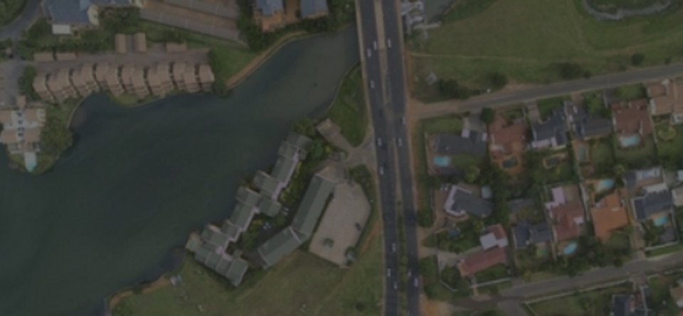
Photogrammetry
Aerial triangulation, orthomosaics, DSM and 3D models from drone and aerial imagery.
View details
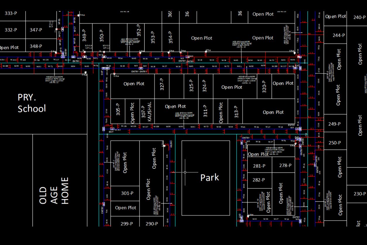
ABD & AGD Design & Mapping
As-built and as-granted drawings and utility network design in CAD and GIS.
View details
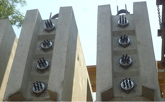
BIM Modelling
3D BIM models for infrastructure and utility projects.
View details

IT Services
Custom GIS software, CAD tools, web GIS portals, databases and workflow automation.
View details
Need a service not listed here?
Tell us about your data and deliverables — we'll suggest the right approach.