
SERVICE 06 OF 9
Photogrammetry
Accurate orthomosaics, surface models and 3D outputs from drone and aerial imagery.
What we deliver
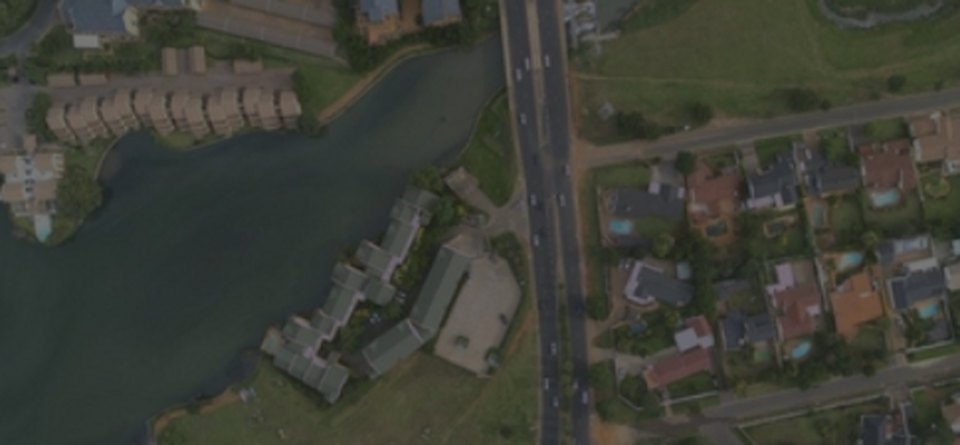
Orthomosaic GenerationSeamless, true-scale image maps from drone or aerial photographs.
[Aerial Triangulation photo]
Aerial TriangulationImage orientation and bundle adjustment tied to ground control points.
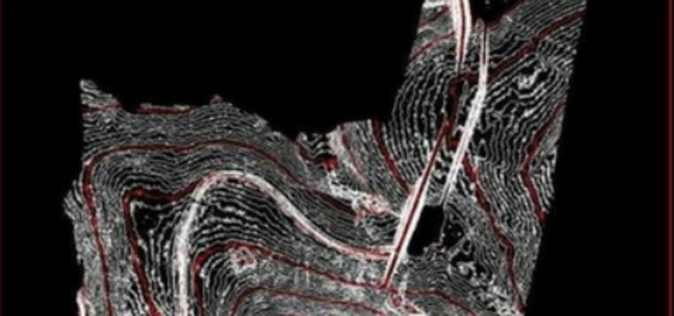
DSM / DTMSurface and terrain models derived from dense image matching.
[3D Models photo]
3D ModelsTextured 3D meshes of sites, buildings and structures.
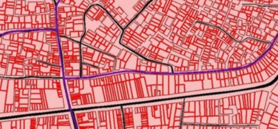
Planimetric MappingRoads, buildings, water bodies and land use captured from imagery.
[Volume Calculation photo]
Volume CalculationStockpile and earthwork volumes measured from surface models.
Our workflow
- 01Flight / data reviewOverlap, coverage and GCPs checked.
- 02TriangulationBundle adjustment with control.
- 03ProcessingDense cloud, DSM and orthomosaic.
- 04Feature captureMapping and editing as required.
- 05QC & deliveryAccuracy report and final data.
Automation in this service
We turn your ideas into automation — our own tools and scripts handle the repetitive work, so delivery is faster and more consistent.
- Batch processing pipelinesMultiple flights and blocks processed with saved, repeatable settings.
- Automatic tiling & exportOrthomosaics and DSMs tiled and exported in delivery formats.
- Volume reportsStockpile and earthwork volumes calculated and reported by script.
- Accuracy checksCheck-point residuals computed and reported automatically.
Input we work from
Drone / aerial images, camera parameters, GCPs, flight logs
Output formats
GeoTIFF orthomosaic, DSM / DTM, OBJ / LAS, Shapefile / DWG
Accuracy & QC
Check-point accuracy reported for every block.
Typical applications
Mining volumes, construction progress, urban mapping, land surveys