
SERVICE 01 OF 9
Geoprocessing
GIS data creation, conversion and analysis — from scanned maps and satellite imagery to clean, topologically correct layers for land, agriculture, disaster and urban planning.
520 sq kmLULC & disaster-management mapping completed
What we deliver
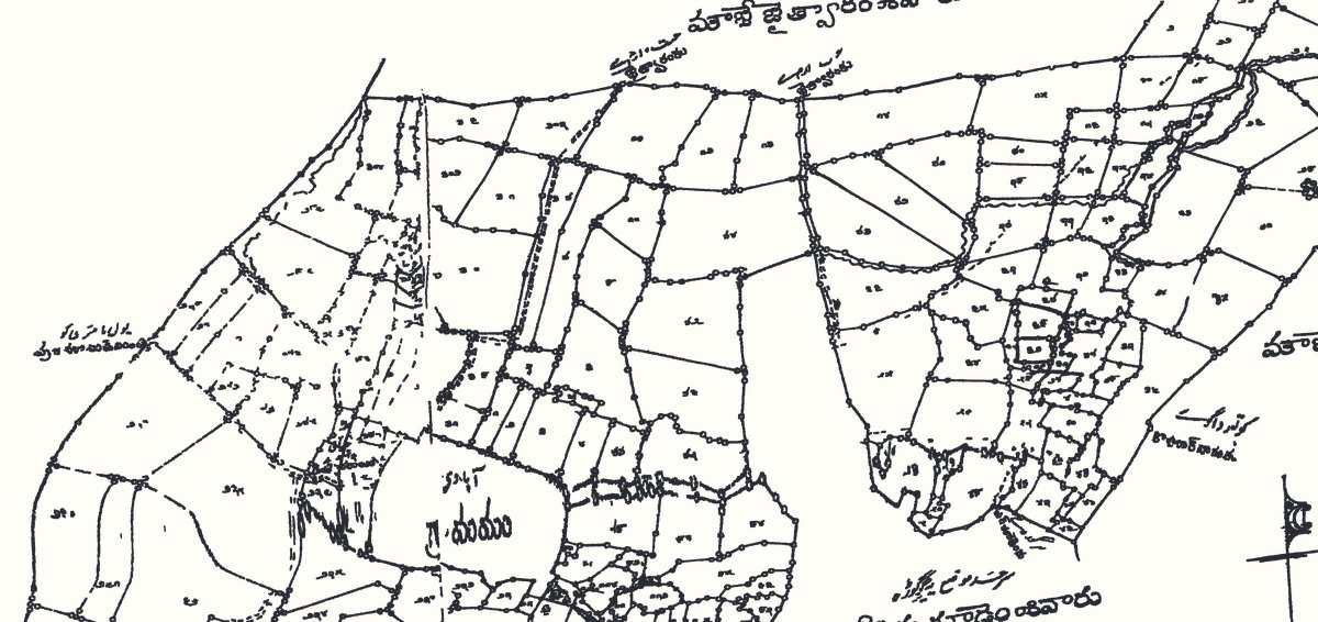
Scan MapsScanning, georeferencing and vectorization of village, revenue and town maps into accurate GIS layers.
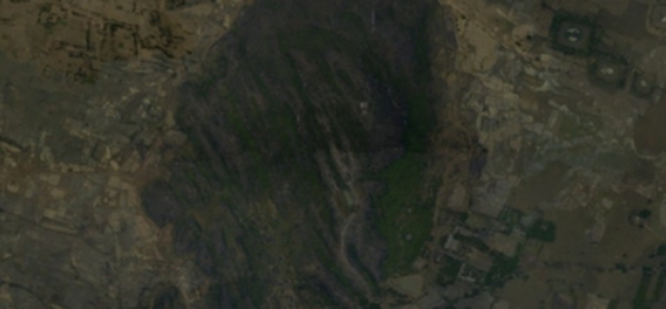
Land Use Land CoverLULC classification from satellite imagery, with change detection between years.
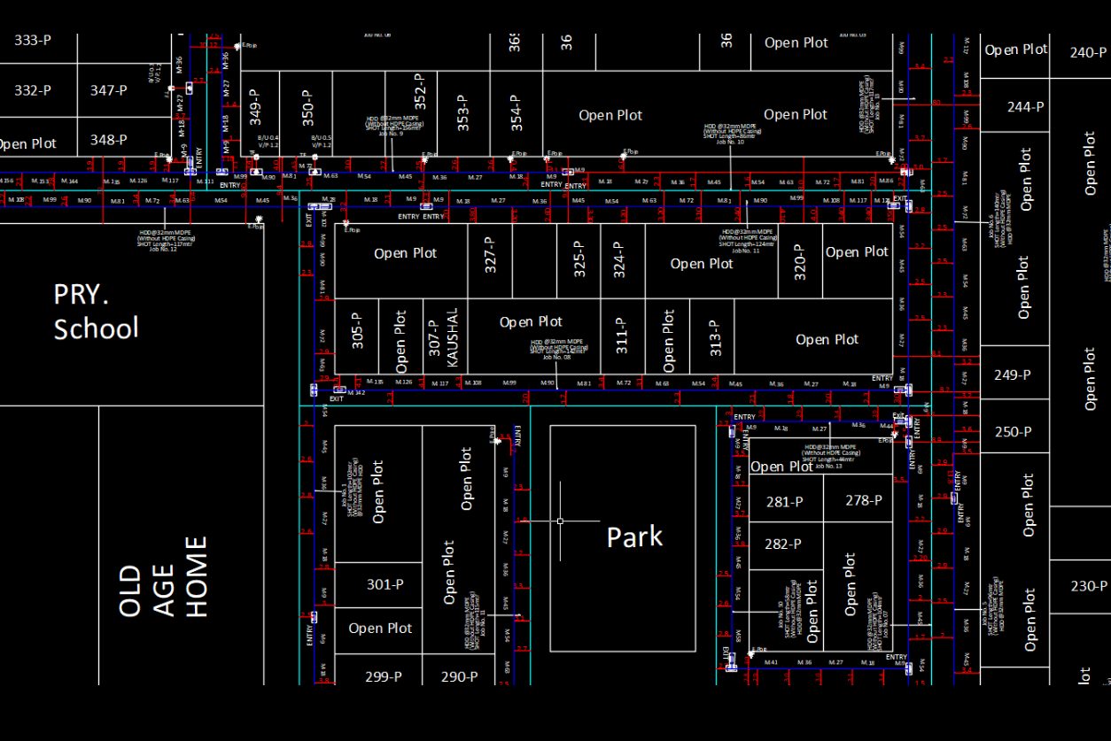
Conversion FilesData conversion between CAD and GIS formats — DWG, SHP, GDB, KML, GeoPackage — with attributes intact.
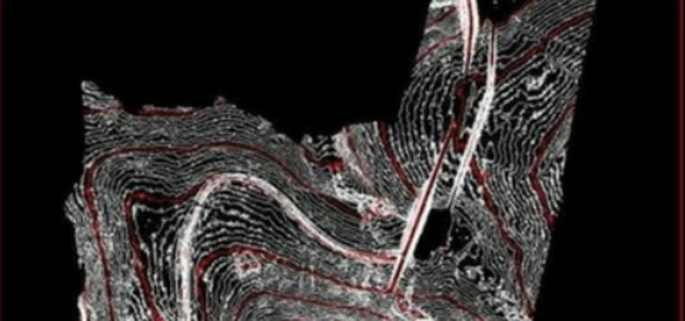
Disaster ManagementFlood, hazard and risk mapping with vulnerability layers to support planning and response.
Agriculture MappingField boundaries, crop area and land-holding mapping for agriculture planning and schemes.
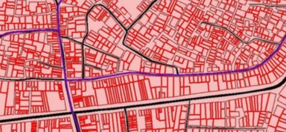
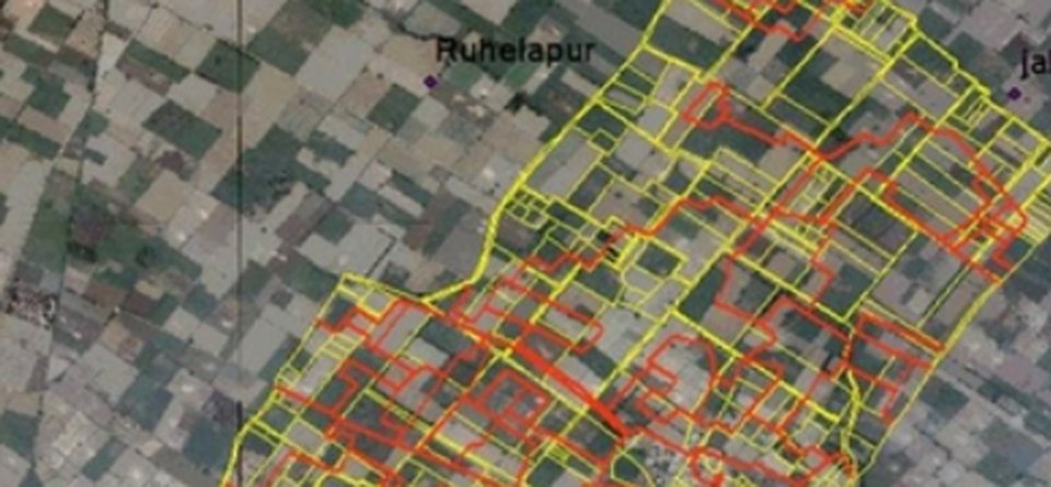
Parcel MappingCadastral parcel (khasra) polygons digitized and linked to land records.
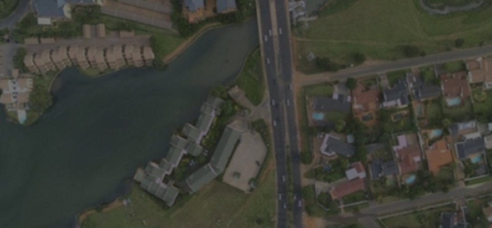
Urban & Infrastructure PlanningBase maps, land use and utility layers for master plans, smart city and infrastructure projects.
Our workflow
- 01Scope & data modelSpecifications, schema and accuracy targets agreed.
- 02Source preparationScanning, georeferencing and mosaicking.
- 03Data captureDigitization and attribute entry to the schema.
- 04Topology & QCAutomated checks plus manual review.
- 05DeliveryData, metadata and reports in your formats.
Automation in this service
We turn your ideas into automation — our own tools and scripts handle the repetitive work, so delivery is faster and more consistent.
- Raster to Polygon toolOur own tool vectorizes scanned village maps into parcel polygons automatically.
- Batch conversionPython scripts convert hundreds of CAD / GIS files in one run, attributes intact.
- Automated topology checksVMGIS Tool finds gaps, overlaps and errors before manual QC.
- Scripted LULC workflowsRepeatable classification and change-detection pipelines.
Input we work from
Scanned maps (TIF), satellite / aerial imagery, CAD drawings, field survey data, spreadsheets
Output formats
File GDB, Shapefile, GeoPackage, KML, DWG / DXF, PostGIS
Accuracy & QC
Topology rules, attribute validation and edge-matching on every delivery.
Typical applications
Land records, agriculture schemes, LULC studies, disaster management, urban and smart city planning