
SERVICE 09 OF 9
IT Services
Custom GIS software, CAD tools, web portals and databases — built by the same team that does the field and mapping work.

What we deliver
Custom GIS SoftwareDesktop tools like VMGIS Tool for GDB processing, QC and batch GIS tasks.
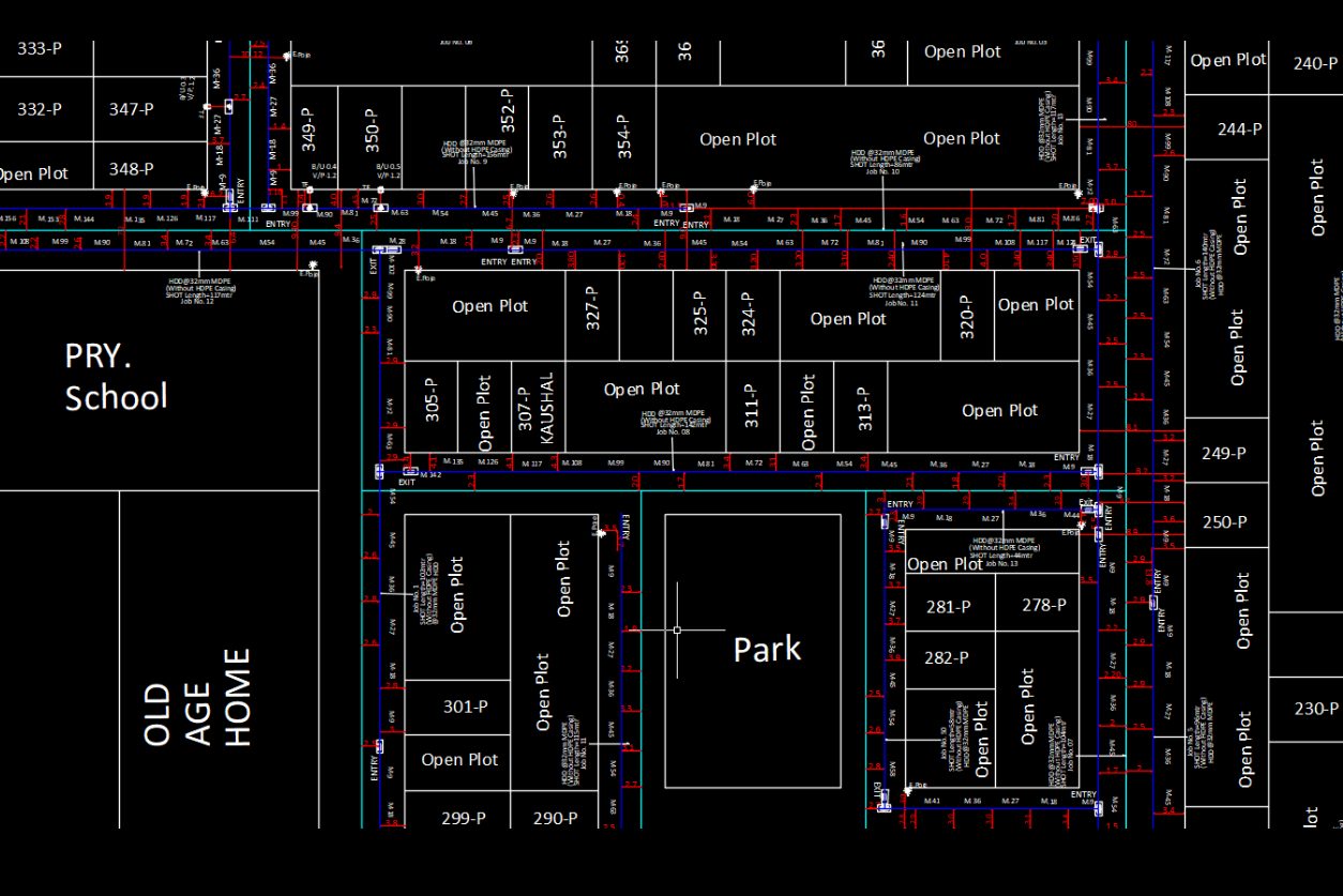
CAD Tools & PluginsVMGCAD, AutoLISP and Python add-ons that automate drafting work.
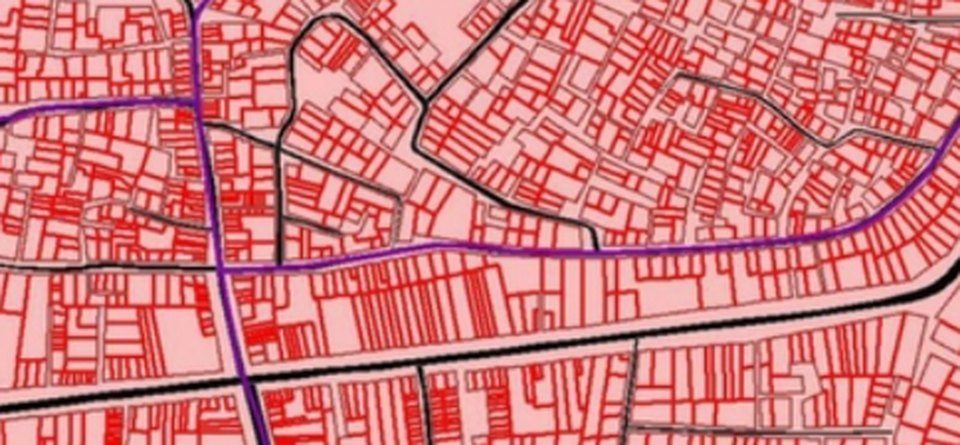
Web GIS PortalsBrowser-based maps and dashboards for your teams and clients.
[Database & GIS Server Setup photo]
Database & GIS Server SetupPostgreSQL / PostGIS and GeoServer installation, design and tuning.
[Workflow Automation photo]
Workflow AutomationScripts and tools that replace repetitive manual steps in your projects.
[Websites & CMS photo]
Websites & CMSCompany websites and secure CMS / data-management systems.
Our workflow
- 01Requirement studyYour workflow and pain points understood.
- 02DesignScreens, data model and architecture planned.
- 03DevelopmentBuilt in Python, C++, JavaScript and SQL.
- 04TestingTested on your real data before release.
- 05Deployment & supportInstalled, trained and supported after go-live.
Automation in this service
We turn your ideas into automation — our own tools and scripts handle the repetitive work, so delivery is faster and more consistent.
- Built for automationEvery tool we build is designed to remove manual, repeatable steps.
- Proven in our own projectsOur software runs daily on our own survey and GIS production.
- Integrates with your stackWorks with ArcGIS, QGIS, AutoCAD, PostGIS and GeoServer.
- Versioned releasesUpdates delivered as numbered versions so nothing breaks.
Input we work from
Your workflow, sample data, existing systems and user requirements
Output formats
Windows applications (EXE), plugins, web apps, databases, documentation
Accuracy & QC
Tested on real project data, with version control and secure coding practices.
Typical applications
GIS production teams, utility companies, survey firms, government departments